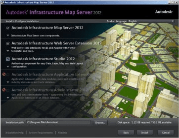
Autodesk® Infrastructure Map Server software is web-based mapping software that helps AEC professionals publish and share CAD, GIS, and other infrastructure asset information quickly and cost-effectively via the Internet. Easy to use and deploy, the software includes templates that enable users to quickly deliver information from AutoCAD® Map 3D software to the web.
Features:
- Mobile viewer extension—Use Infrastructure Map Server with popular touch-screen devices
- GeoREST extension—Repurpose existing server and Feature Data Objects (FDO) data using a RESTful web services protocol
- WMS & WFS publishing—Simplify the publishing process with an OGC WMS & WFS publishing interface
- Additional consumer map layers—Create context-rich maps
- QuickPlot functionality—Quickly choose the area, rotation, resolution, map decorations, and paper size prior to plotting
- Pre-caching of base layer tiles—Generate and populate tile caches
- Stylization user interface—Create rich cartographic maps
Comments